

 24/7 Emergency Service
Storm season is upon us
6/16/2020 (Permalink)
 Hurricane
The Essential Guide to Hurricane Preparedness
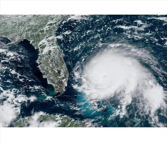
Our team at SERVPRO of North Clay County/Oakleaf/Middleburg want to make sure that you have a place you can go to if you have any questions as far as Hurricane season and storms are concerned. Each year hurricane season begins on June 1st and lasts 5 months, with storms typically peaking in August and September. As with every hurricane season regardless of forecast, knowing the essentials of how to prepare could truly be a life saver.
Hurricane Knowledge
First, know your hurricane facts and understand common terms used during hurricane forecasts. Storm conditions can vary on the intensity, size and even the angle which the tropical cyclone approaches your area, so it is vital you understand what the forecasters and news reporters are telling you.
Tropical Depressions are cyclones with winds of 38 mph. Tropical Storms vary in wind speeds from 39-73 mph while Hurricanes have winds 74 mph and greater. Typically the upper right quadrant of the storm (the center wrapping around the eye) is the most intense portion of the storm. The greatest threats are damaging winds, storm surge and flooding. This is in part why Hurricane Katrina was so catastrophic when bringing up to 28 foot storm surges onto the Louisiana and Mississippi coastlines.
Here are some important terms you may hear:
- Tropical Storm Watch: Tropical storm conditions are possible in the area.
- Hurricane Watch: Hurricane conditions are possible in the area.
Watches are issued 48 hours in advance of the anticipated onset of tropical storm force winds. - Tropical Storm Warning: Tropical storm conditions are expected in the area.
- Hurricane Warning: Hurricane conditions are expected in the area.
Warnings are issued 36 hours in advance of tropical storm force winds. - Eye: Clear, sometimes well-defined center of the storm with calmer conditions.
- Eye Wall: Surrounding the eye, contains some of the most severe weather of the storm with the highest wind speed and largest precipitation.
- Rain Bands: Bands coming off the cyclone that produce severe weather conditions such as heavy rain, wind and tornadoes.
- Storm Surge: An often underestimated and deadly result of ocean water swelling as a result of a landfalling storm, and quickly flooding coastal and sometimes areas further inland.
During a watch, prepare your home and evacuation plan in case a warning is issued. During a warning, carefully follow the directions of officials, and immediately leave the area if they advise it. In the event of an Extreme Wind Warning/Advisory, which means that extreme sustained winds of 115 mph or greater are expected to begin within an hour, immediately take shelter in the interior portion of a well-built structure.
Hurricane Forecasts
Predicting a tropical cyclone's path can be challenging; there are many global and local factors that come into play. The storm's size and path can directly influence what sort of wind patterns guide, enhance or hinder its growth, and vice versa! Forecasters have computers that take huge amounts of data and try to predict where the storm will go and usually can calculate 2-3 days out fairly accurately. This is where you hear the terms computer models and spaghetti models being used. Generally the forecast track or path is given with the average consensus of these models. The National Hurricane Center has the most up-to-date information on tropical cyclone developments, forecasts and weather alerts, discussions analyzing the data and more. http://www.nhc.noaa.gov/
If you have any questions feel free to give us a call and we will more then happy to help any way that we can.